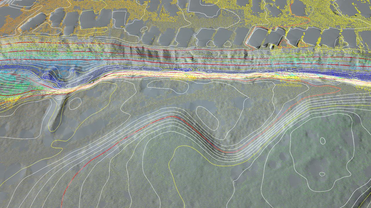
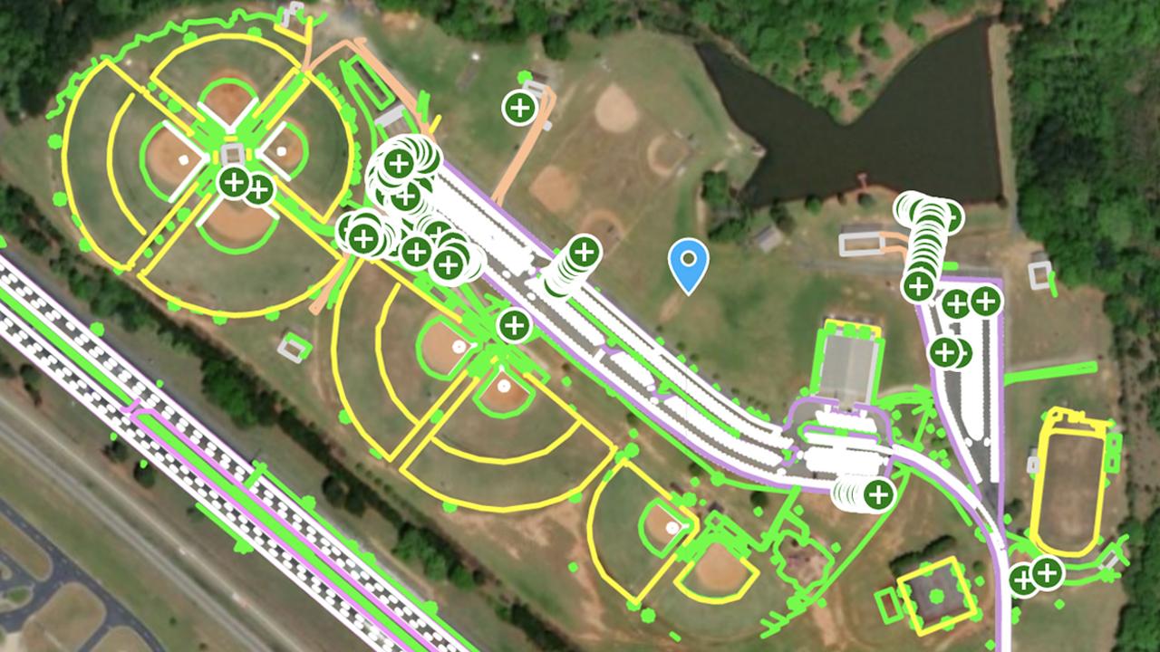
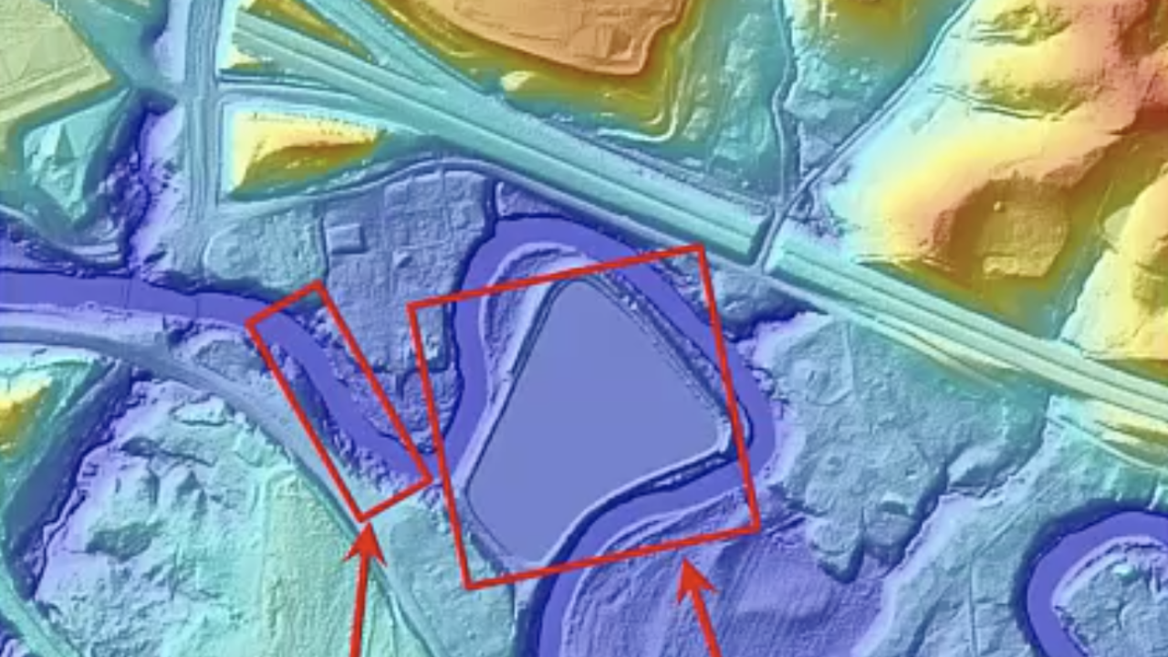
Keystone sUAS
Aerial Drone & Land Survey services
- Utilizing photogrammetry and lidar to produce ground surface contours and planimetrics used in civil engineering design.
- Flood water site modeling.
- Volumetric surveys and Inspections.
- On lot septic design, infiltration testing and soil pit descriptions.
Keystone sUAS is a subsidiary of Environmental Soil Services, LLC.