Skip to main content
Rock LiDAR Firmware Update and 2026 Commitment
Rock LiDAR Firmware Update and 2026 Commitment
New ROCK Desktop Processing Option!
ROCK Ortho Photo Updates
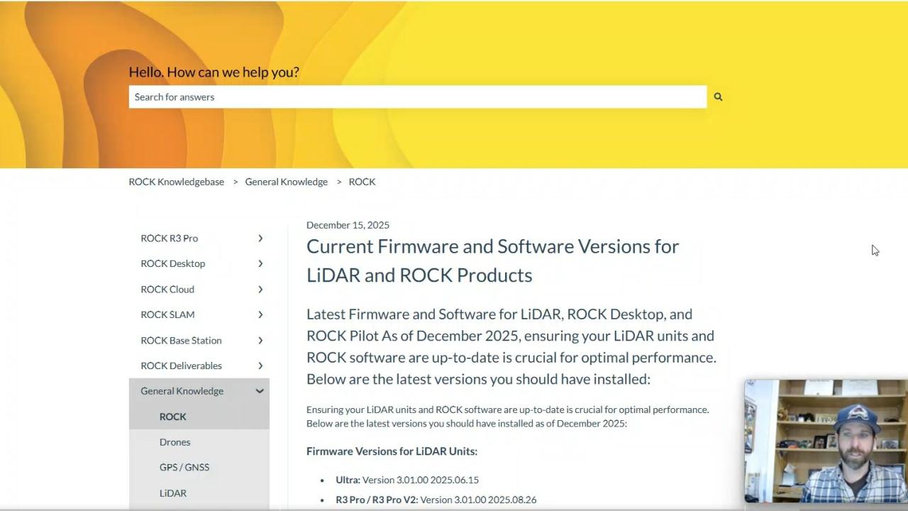
ROCK Firmware and ROCK Pilot Updates Available
Enhancing Aerial LiDAR with Multiple Returns
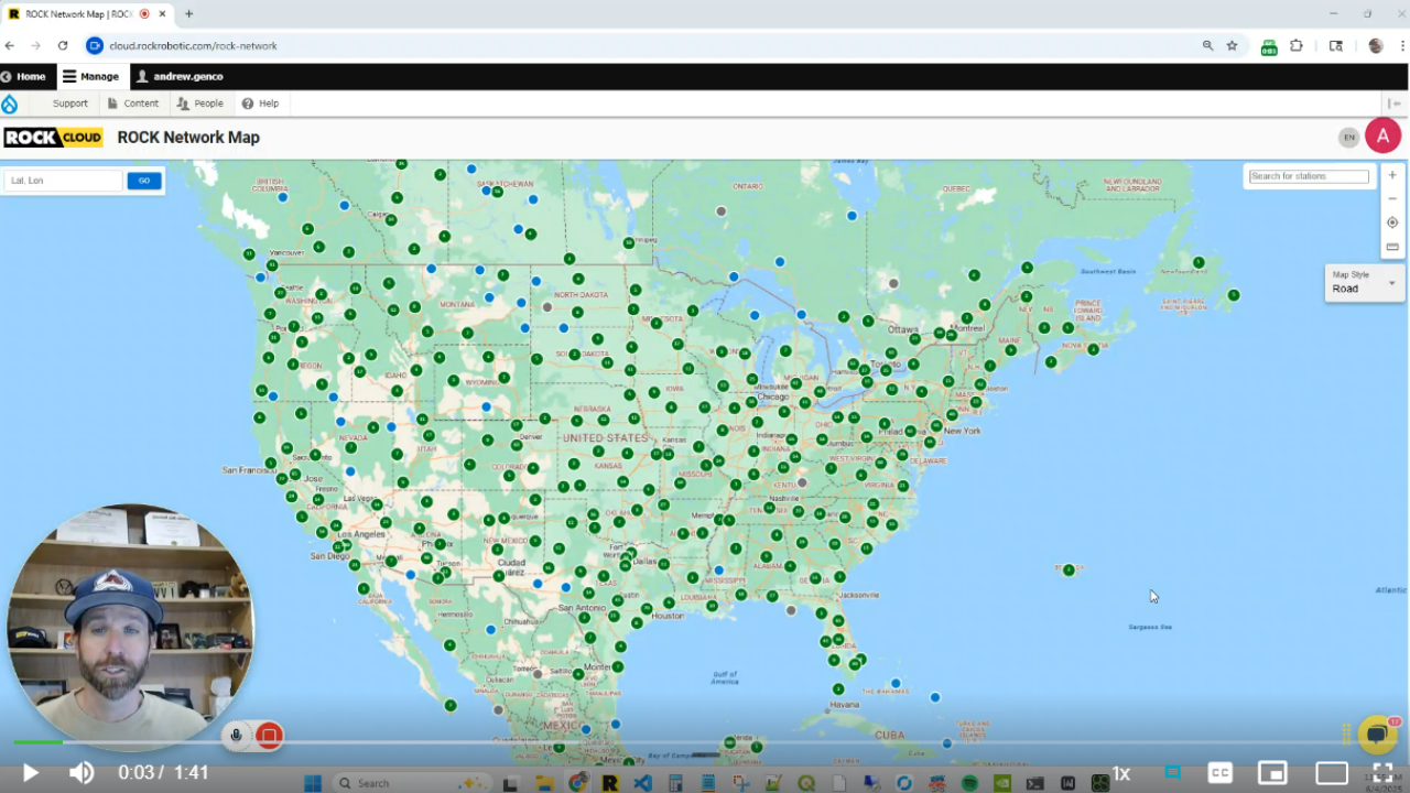
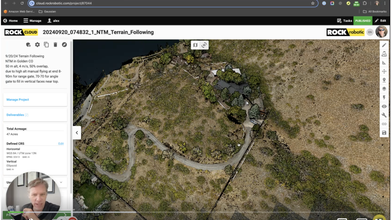
ROCK Network Map Update
ROCK Cloud - Share Your Data with Ease
ROCK Cloud - GPS Time Function
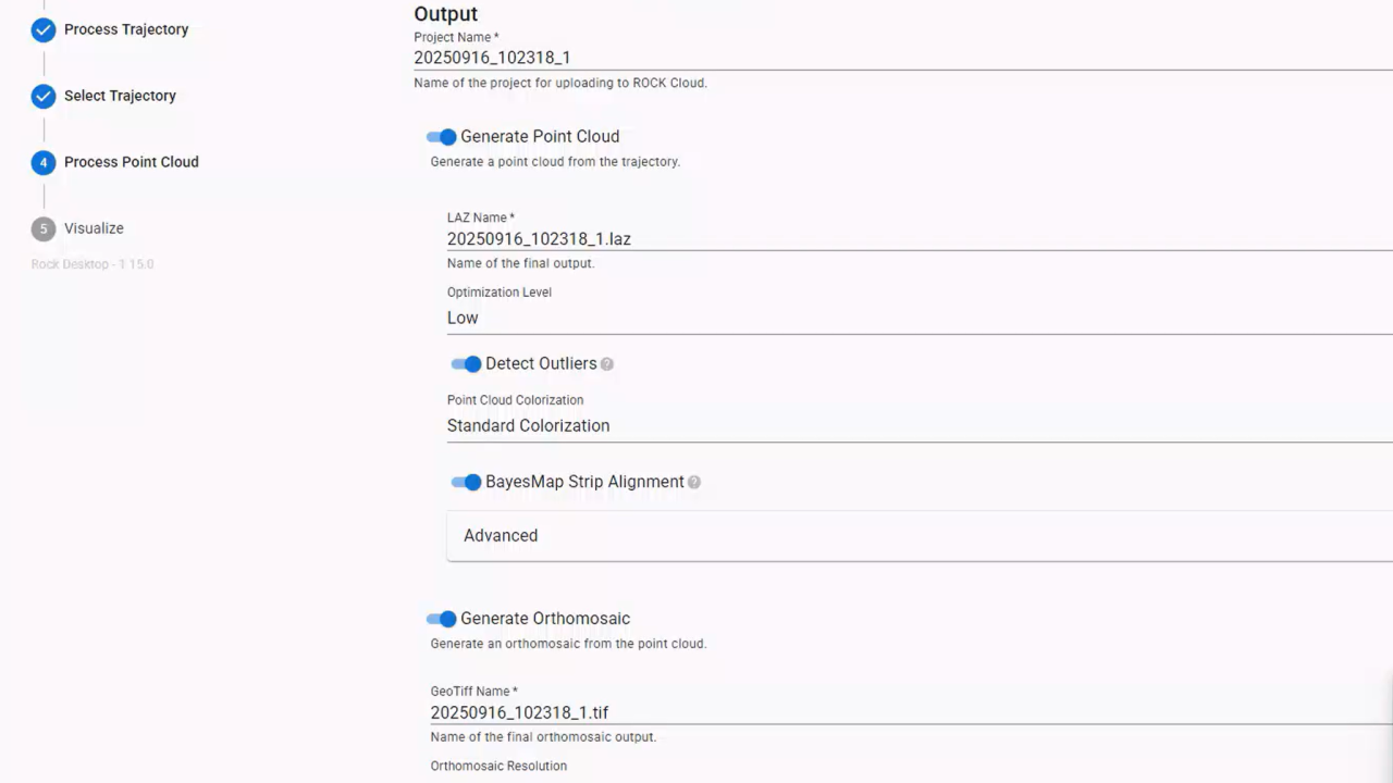
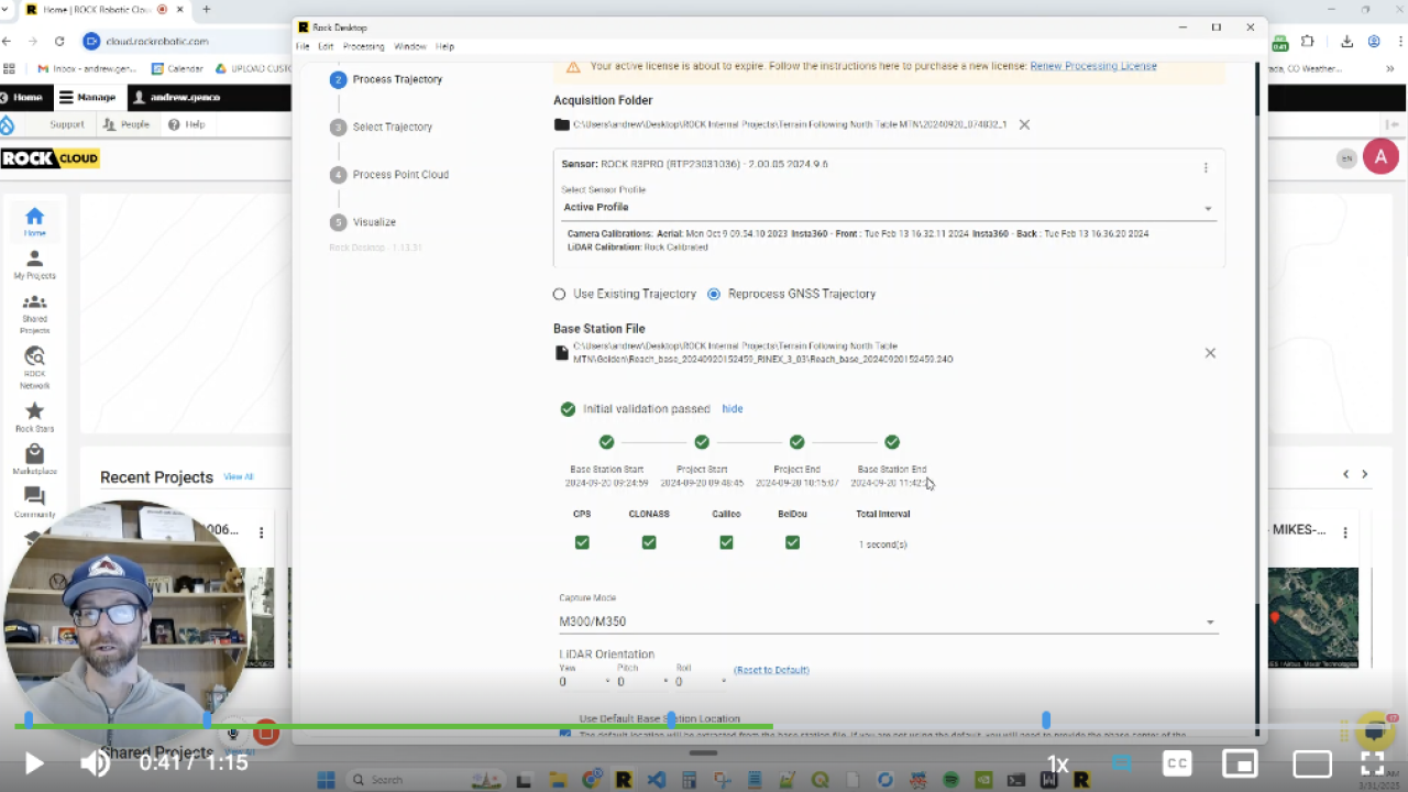
Base Station Validation | Rock Desktop
Unlock Precision with ROCK RTK Network for Just $40 a Month
Enhancing LiDAR Projects with ROCK Pro Services’ Comprehensive Data Review
Measuring All Things | ROCK Cloud
Best Practices for Takeoff and Landing Zones for LiDAR Drones
Quick Tips for Efficient Measurements in Rock Cloud
Exporting Measurements from Rock Cloud to Google Earth
USB Health Best Practices
Get Planimetric Deliverables with ROCK Cloud Pro Services
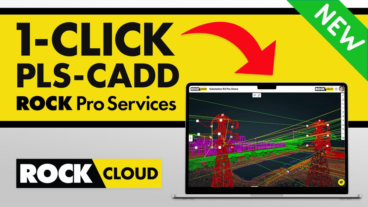
Get PLS-CADD Deliverables in the ROCK Cloud
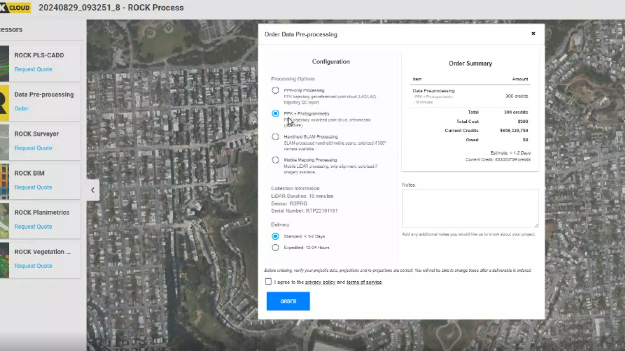
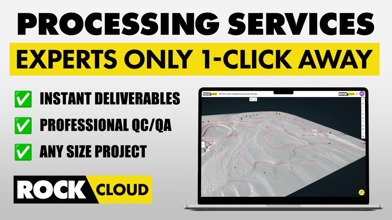
ROCK Processing Services
Using Drone LiDAR for Construction Site Development
Boost Your Drone's Battery Life
LiDAR Surveying for Transportation Departments
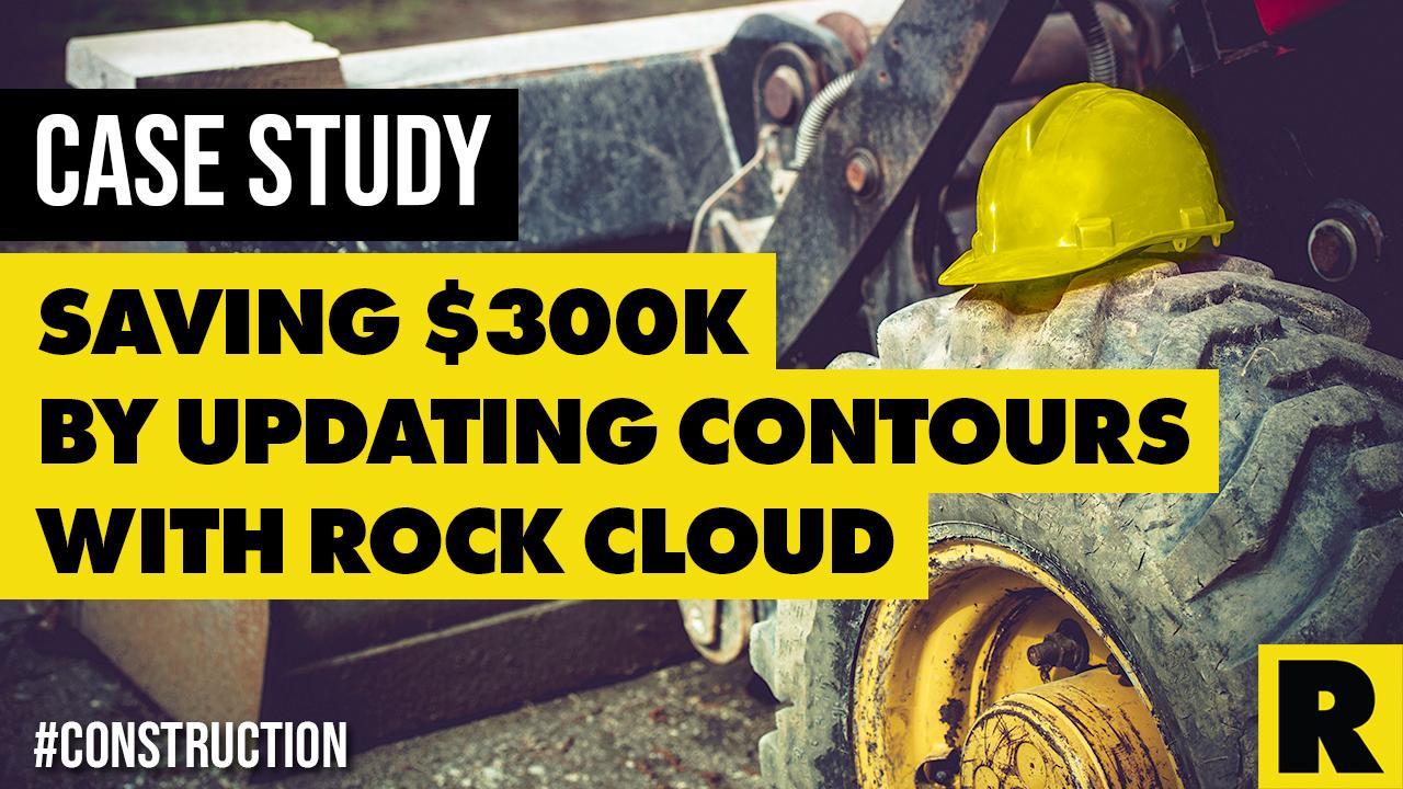
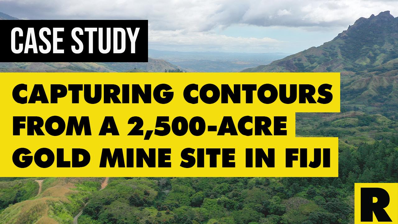
Saving $300k by Capturing Contours
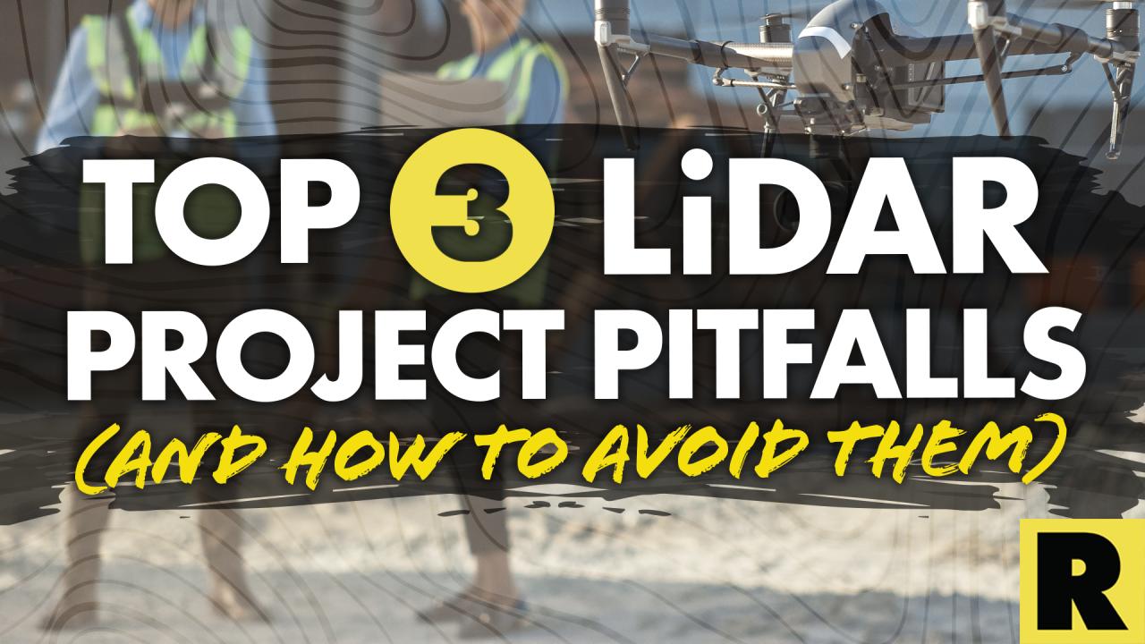
Top 3 LiDAR Project Pitfalls
Are drones going to take our jobs?
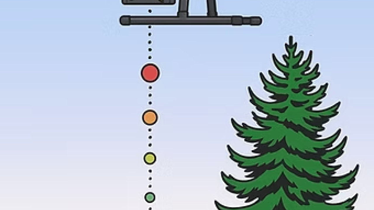
Dense vegetation? Not a problem for ROCK LiDAR.
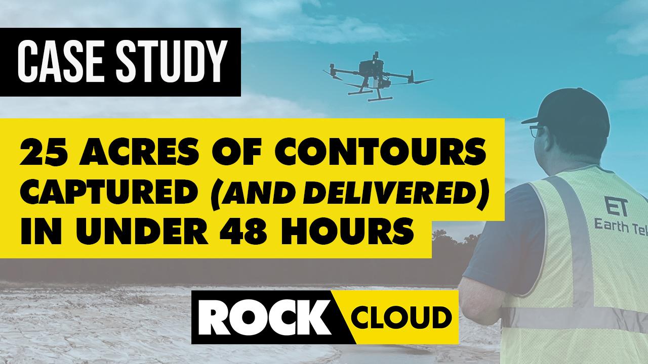
Capturing & Delivering Contours in One Weekend
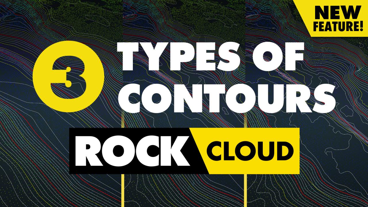
3 Types of Contours
Pagination
‹
Page 1
Next page
››