

Fast and Accurate Deliverable
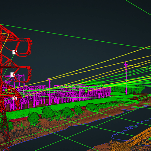
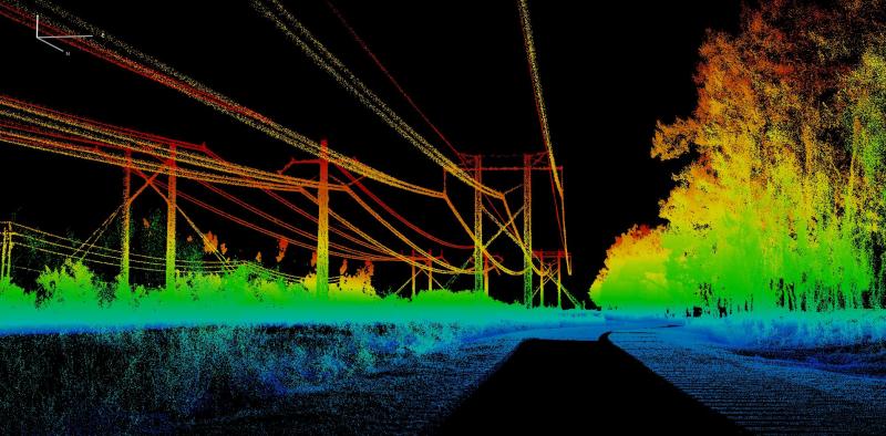
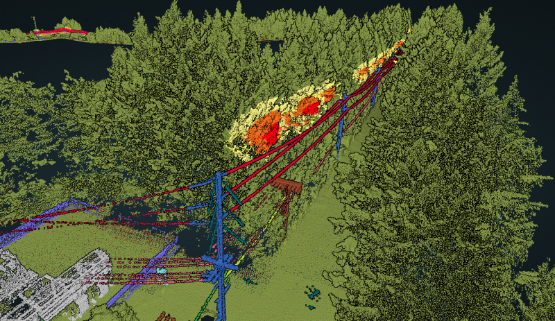
Power-line corridor management is key to delivering safe and uninterrupted electricity. The ROCK Vegetation Management deliverable gives you the intelligence needed from your LiDAR point cloud. The deliverable will give you classification of the power line corridor you select, classify any vegetation within the distances you select to an existing power conductor, and give you 3d polygons of the encroachments.
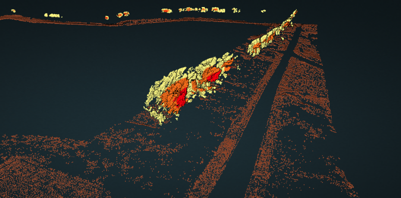
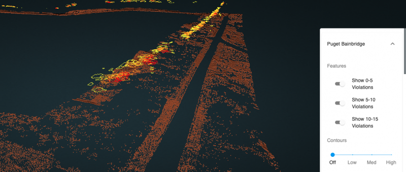
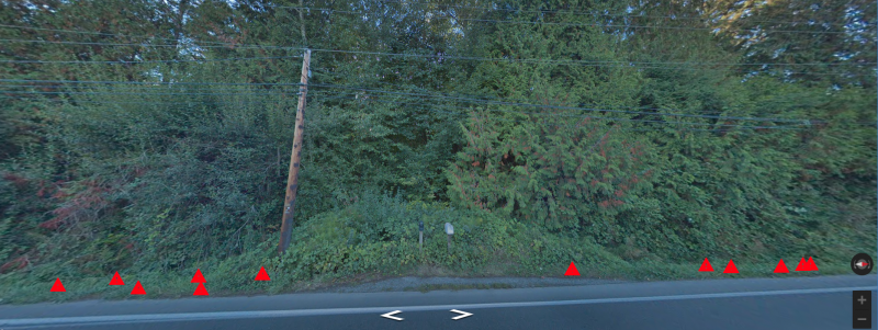
Best yet, you can visualize those danger points right from the rock cloud!
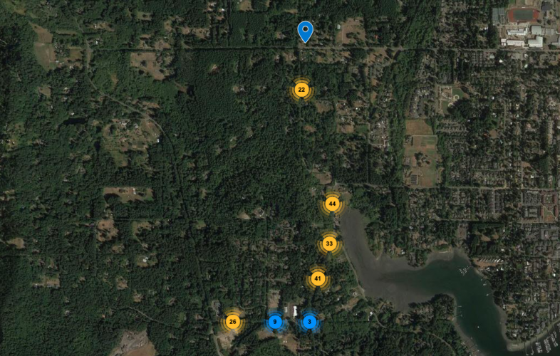
Vegetation Encroachment Detection
Year over year vegetation continues to encroach on our power grid. With drone LiDAR you will be able to quickly view and catalog the highest risk areas for your power-line corridor. See all of your encroachments easily on both the map and LiDAR view!
1. Classified las/laz file.
The following are classified:
| Class | Title |
|---|---|
| 2 | Ground |
| 3 | Low Vegetation |
| 4 | Medium Vegetation |
| 5 | High Vegetation |
| 6 | Buildings |
| 10 | To Be Deleted |
| 15 | Transmission Tower |
| 40 | Bridge |
| 65 | Substation |
| 66 | Crossing Line |
| 67 | Other Line (Adjacent Line) |
| 68 | Main Line Structure |
| 69 | Main Line Wires |
| 70 | Main Line Other Wire |
| 72 | Fence |
| 73 | Miscellaneous Permanent |
| 74 | Miscellaneous Temporary |
| 101 | High Violations |
| 102 | Medium Violations |
| 103 | Low Violations |
2. Danger points SHP file
3. Map display of danger points
4. Obstruction report