Image
PLSCADD

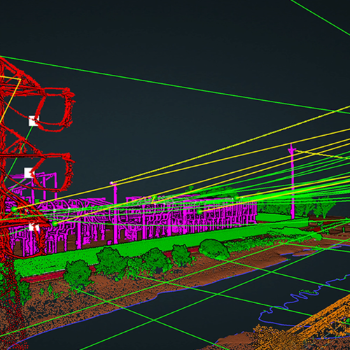
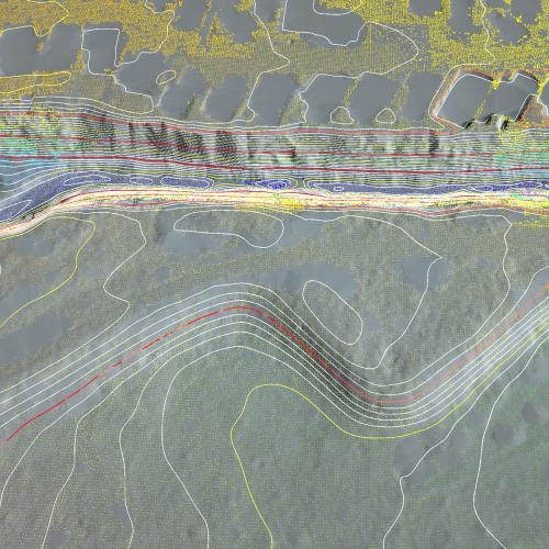
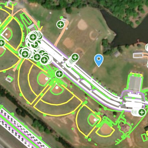
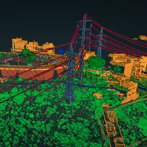
PLS-CADD (Power Line Systems - Computer Aided Design and Drafting) is an industry-leading software suite used for the design and analysis of transmission lines. PLS-CADD may present challenges, but Rock's PLS-CADD Deliverable streamlines the entire process, ensuring you receive the precise deliverables you require. Backed by our seasoned team, we craft solutions tailored to meet all your PLS-CADD requirements. 

Read More
Image
ROCK Surveyor
A DEM (Digital Elevation Model) and Contours allow you to get accurate insight into the ground topography.
Read More
Image
ROCK Planimetrics

ROCK Planimetrics combines superior artificial intelligence, machine learning, and quality control to create highly accurate planimetric deliverables. Additionally, you are able to select and pay for specific areas of your dataset so you are paying for only the acreage you need!

Read More
Image
Rock Coridor
Power line corridor management is key to delivering safe and uninterrupted electricity. The ROCK Vegetation Management deliverable gives you the intelligence needed from your LiDAR point cloud. The deliverable will give you classification of the power line corridor you select, classify any vegetation within the distances you select to an existing power conductor, and give you 3d polygons of the encroachments. 
Read More
Image
Hydro-flattened DEM

ROCK Hydrology delivers a hydro-flattened topographic DEM and contours where waterbodies have a single elevation and streams and rivers are flat bank-to-bank, with monotonic flow. A hydro-flattened DEM is a topographic DEM and should not be confused with hydro-enforced or hydro conditioned DEMs, which represent hydrologic surfaces. The goal of hydro-flattening is to create an artificial water surface over water bodies which will possess basic surface characteristics of natural water.

Read More