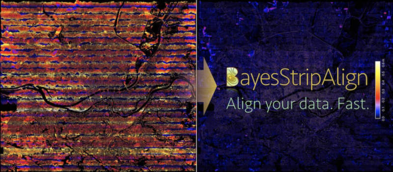
BayesMap StripAlign™
What is StripAlign?
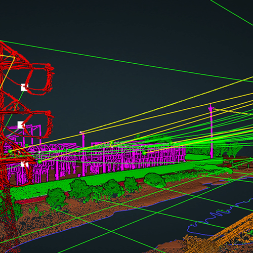
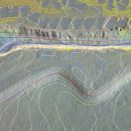
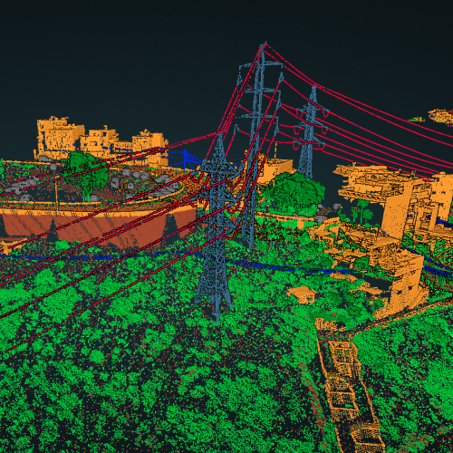
StripAlign is an automatic strip alignment tool: it registers overlapping LiDAR swaths and corrects both relative and absolute geometric errors. It allows to effectively reduce discrepancies between strips due to IMU attitude and position errors, and to combine corrections optimally in order to minimize both relative and absolute error. It uses a rigorous time-dependent approach to address effects such as IMU drifts and oscillations, which cannot be corrected with classical sensor calibration.
The registration algorithm takes advantage of all the last returns, filters out outliers on the fly (including vegetation, mismatched building walls, missing and bad data). LAS ground classification can be used if available but is not necessary. A roughness threshold can also be used to exclude vegetation and speed up the computation. Water bodies can be filtered based on height. No planes, or geometric objects of any type are required: natural surfaces work just as well as built-up areas.
It is possible to set some of the strips as references to keep them fixed, when they are part of an already aligned dataset, which saves time. No control data is required, but if available they can be used for QC and vertical bias compensation.
Required Uploads
1. LAS or LAZ lidar data files
2. Position and Orientation Data named "trajectory.out" if in SBET format or "trajectory.txt" if in ASCII format. If in ASCII format, then the format shall be:
Time,X,Y,Z,Roll,Pitch,Yaw
Where Time is gps-time in microseconds.
X, Y, Z is projected (not geodetic).
Attitude angles is ENU.
3. The Position and Orientation file MUST be in the same projection as the las/laz file uploaded.
4. Your LiDAR sensor must be selected in Advanced project settings.
Be sure you have uploaded all of the appropriate files and they are in the appropriate format. If you do not follow all of the requirements, you will not get the best possible alignments.
1. Corrected LAZ file.