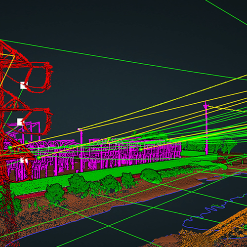
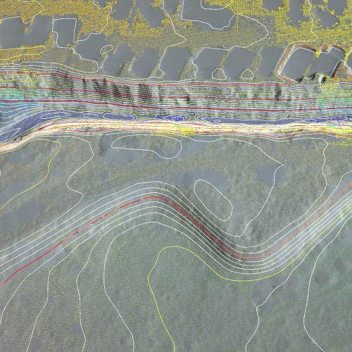
ROCK Hydrology delivers a hydro-flattened topographic DEM and contours where waterbodies have a single elevation and streams and rivers are flat bank-to-bank, with monotonic flow. A hydro-flattened DEM is a topographic DEM and should not be confused with hydro-enforced or hydro conditioned DEMs, which represent hydrologic surfaces. The goal of hydro-flattening is to create an artificial water surface over water bodies which will possess basic surface characteristics of natural water.
Hydro-flattened data is delivered in accordance with the following parameters as defined in the USGS Lidar Base Specification Guidelines.
Inland Ponds and Lakes
- Water bodies of 8,000 m2 (2 acres) or greater surface area at the time of collection are flattened.
- Flattened water bodies are represented as flat and level water surface (a single elevation for every bank vertex defining the water body’s perimeter).
- The entire water-surface edge is at or below the immediately surrounding terrain
- Long impoundments, such as reservoirs, inlets, and fjords, whose water-surface elevations decrease with downstream travel, are compiled as streams or rivers.
Inland Streams and Rivers
- Streams and rivers of a 30-m (100-ft) nominal width are flattened.
- Streams or rivers whose width varies above and below 30 meters will not be broken into multiple segments.
- Flattened streams and rivers are represented as a flat and level water surface from bank to bank, perpendicular to the apparent flow centerline.
- Flattened streams and rivers are represented as a gradient downhill water surface, following the immediately surrounding terrain.
- In cases of sharp turns of rapidly moving water, where the natural water surface is notably not level bank-to-bank, the water surface is represented as it exists while maintaining an aesthetic cartographic appearance.
- The entire water surface edges are at or below the immediately surrounding terrain.
- Stream channels shall break at culvert locations, leaving the roadway over the culvert intact.
- Bridges in all their forms are removed from the DEM.
- Streams are continuous at bridge locations.
- When the identification of a structure as a bridge or culvert cannot be made definitively, the feature is regarded as a culvert.
Non-tidal boundary waters
- Boundary waters, regardless of size, are represented only as an edge or edges within the project. Collection does not include the opposite shore.
- The entire water surface edges are at or below the immediately surrounding terrain.
- The water surface elevation will be consistent throughout the project.
- The water surfaces are flat and level, or as appropriate for the type of water body (level for lakes, a gradient for streams and rivers).
- Any unusual changes in the water surface elevation during the course of the collection (such as increased upstream dam discharge) are documented in the project metadata.
- In the event of an unusual change in water surface elevation, the water body is handled as described in Tidal Waters (below).
Tidal Waters
Tidal water bodies are defined as any water body that is affected by tidal variations, including oceans, seas, gulfs, bays, inlets, salt marshes, and large lakes. Tidal variations during data collection (or between different data collections) will result in lateral and vertical discontinuities along shorelines. As per USGS Lidar Base Specification Guidelines, acquisitions are planned to minimize tidal differences at the land-water interface (if possible). In addition to meeting the requirements for inland water bodies (listed in the Inland Ponds, Lakes, Inland Streams, and Rivers sections above) when appropriate, the tidal water bodies are compiled to meet the following requirements:
- Within each water body, the water surfaces are flat and level for each different water surface elevation.
- Vertical discontinuities within a water body resulting from tidal variations during the collection are considered normal and are retained in the final DEM.
- Horizontal discontinuities along the shoreline of a water body resulting from tidal variations during the collection are considered normal and are retained in the final DEM.
Islands
- Permanent islands of 4,000 sq m (1 acre) or larger shall be delineated in all water bodies.
- Ground Classified laz file
- SHP file containing geometry data
- DBF attribute format file
- SHX shape index file
- Hydro-flattened DEM in TIF format
- Accuracy Report