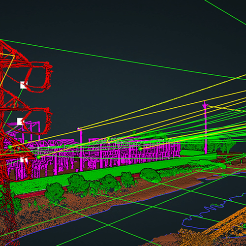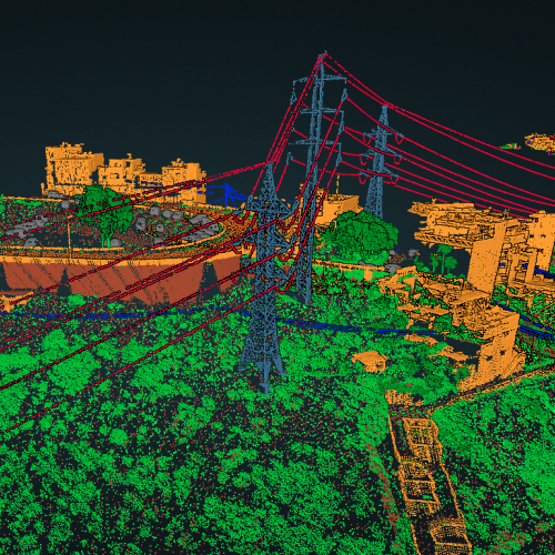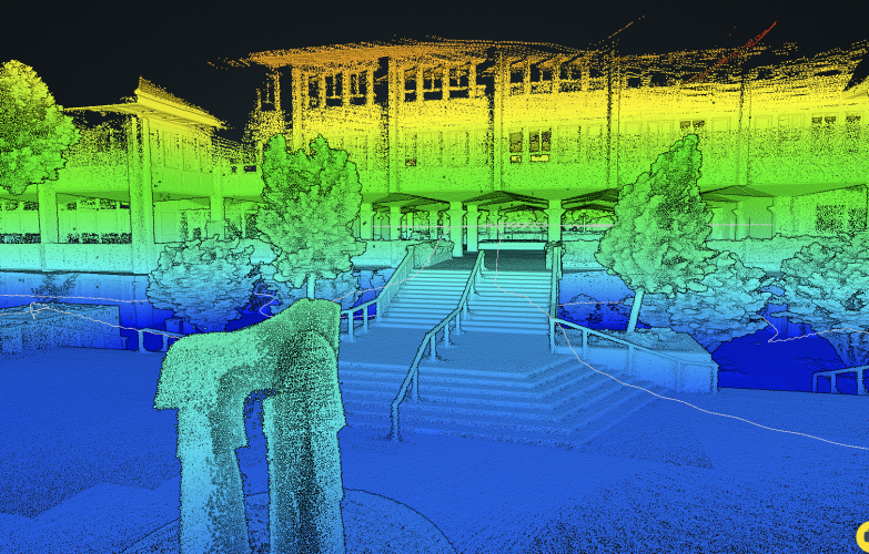
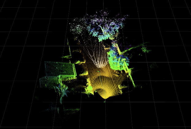
ROCK Slam creates a point cloud when collecting in GPS denied environments. You must first register your LiDAR and enable SLAM in your user account.
Processing is limited to 30 minutes of data collection per project.
Useful links:
Learn how to capture SLAM data.
Deliverables
- Visualized Trajectory
- LAZ of the the data captured